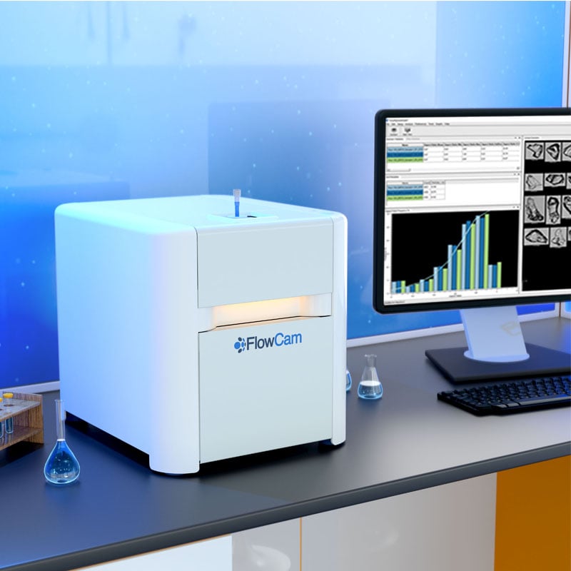
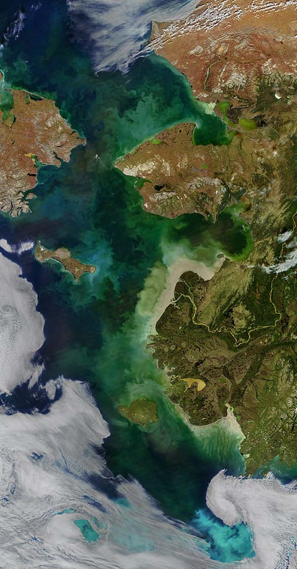
NASA Goddard Space Flight Center’s Ocean Ecology Laboratory Field Group is mapping and monitoring the world’s oceans using satellite-based ocean color imagery. Several of their scientists turned to FlowCam to ground-truth satellite data and identify the composition of the open ocean phytoplankton communities.
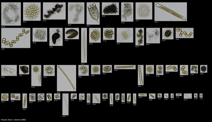
The FlowCam automatically and continuously detects individual waterborne organisms and takes a high-resolution, full-color image of each one. Additionally, it provides more than 40 different measurements and can identify the genus. FlowCam is ideal for detecting and tracking harmful algae blooms and studying the potential impact of climate change on marine life. NASA receives real-time field data documenting actual oceanographic conditions. The data is quickly matched to satellite imagery for validation or supplements existing data sets providing an enhanced perspective to yield a more complete picture of the ocean and its changing colors.
"For the first time, we were able to see how the kind of phytoplankton influenced the optical properties of the seawater and could immediately examine whether an unusual community was related to the seawater or the satellite images, thanks to the FlowCam,” says Prof. Joaquim Goes, a biological oceanographer from Columbia University Earth Observatory. “The FlowCam technology allows us to achieve high-resolution maps of phytoplankton that can be related to satellite data in more meaningful ways than possible before. I think the role of the FlowCam will expand significantly.”
Professor Joaquim Goes conducts research on the impacts of climate change on ocean ecosystems. His studies span the major ocean basins, including the Pacific, Atlantic, and Indian Oceans. A significant portion of his research involves the use of ocean color imagery to analyze how climate change affects the structure and function of plankton ecosystems, which in turn influences both local and large-scale biological oceanographic processes.
In 2005, Professor Goes initiated research on the impact of monsoons on phytoplankton populations in the Arabian Sea. Analysis of ocean color imagery revealed a threefold increase in chlorophyll levels. Upon investigation, this phenomenon was linked to the melting snow caps in the Himalayan region. The reduction in snow cover intensifies monsoon activity, which in turn enhances the upwelling of nutrients essential for phytoplankton growth. The variations in ocean color imagery enabled predictions that the Arabian Sea would gradually become hypoxic, marking a pivotal moment for the application of FlowCam technology in his research.
Professor Goes and his team required advanced technology to facilitate onboard analysis, enabling them to efficiently and accurately measure water samples. During a research expedition to the Arabian Sea, the team utilized the FlowCam instrument to assess particle size and shape of plankton cells, systematically collecting samples at each survey site.
With 20 years of satellite data tracking ocean plant life globally, scientists are investigating how habitats and ecosystems respond to changing environmental conditions. Recent studies of ocean life have shown that a long-term trend of rising sea surface temperatures is causing ocean regions known as “biological deserts” to expand. These regions of low phytoplankton growth occur in the center of large, slow-moving currents called gyres.
“As the surface waters warm, it creates a stronger boundary between the deep, cold, nutrient-rich waters and the sunlit, generally nutrient-poor surface waters,” says Gene Carl Feldman, an oceanographer at NASA’s Goddard Space Flight Center in Greenbelt, Maryland. This prevents nutrients from reaching phytoplankton at the surface and could have significant consequences for fisheries and the marine ecosystem.
The space-based view of life allows scientists to monitor crop, forest and fisheries health around the globe. As ocean waters warm, satellites have detected a shift in phytoplankton populations across the planet’s five great ocean basins — the expansion of “biological deserts” where little life thrives. As carbon dioxide concentrations in the atmosphere continue to rise and warm the climate, NASA’s global understanding of plant life will be critical in monitoring carbon as it moves through the Earth system. At the base of the ocean’s food web are phytoplankton — tiny organisms that, like land plants, turn water and carbon dioxide into sugar and oxygen, aided by the right combination of nutrients and sunlight. Satellites that can monitor the subtle changes in the color of the ocean have helped scientists track changes in phytoplankton populations across the globe.
FlowCam has been instrumental in helping Goes construct a high-resolution picture of phytoplankton. The team could observe previously unseen features, aggregations of HABs, and different phytoplankton groups - previously not possible with typical sampling techniques. "FlowCam technology allowed us to achieve high-resolution maps of phytoplankton that can be related to satellite data in more meaningful ways than possible before." - Joachim Goes.
Interested in learning more about FlowCam? Download the eBook, "The Ultimate Guide to Flow Imaging Microscopy".
Read about this research at ECO Magazine and on the NASA's website.
Photo credit: NASA Ocean Biology Processing Group, Bering and Chukchi Seas captured by VIIRS


